
NISAR: A Game-Changer in Earth Observation
The NASA-ISRO Synthetic Aperture Radar (NISAR) mission is a groundbreaking collaboration between NASA and ISRO, designed to unlock the secrets of our ever-changing planet. This cutting-edge radar mission will provide integrated, high-resolution measurements that help us understand both the causes and the impacts of land surface changes across the globe.
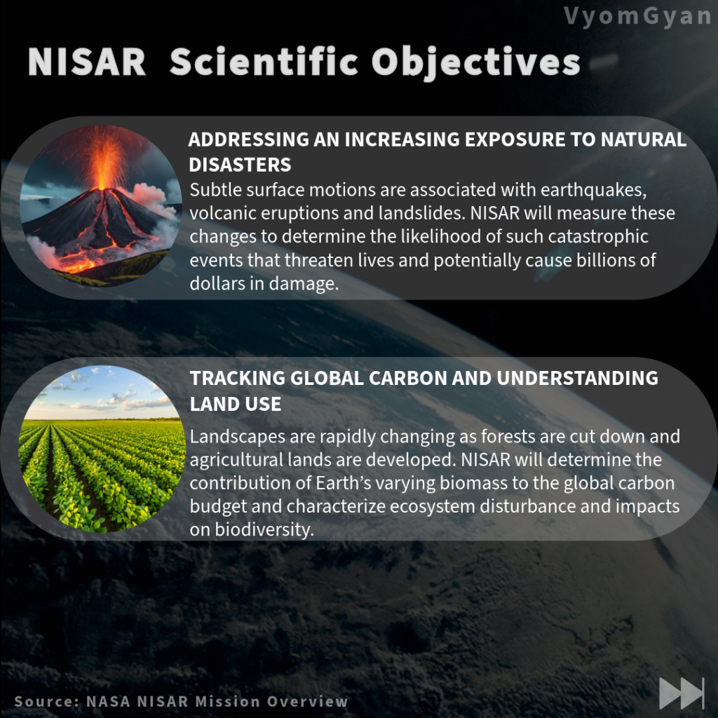
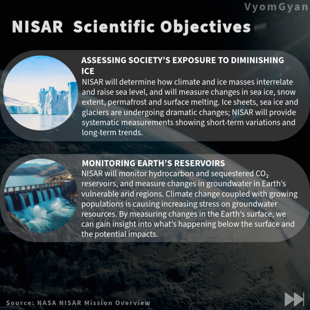
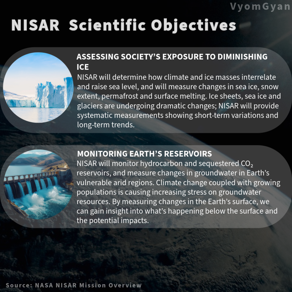
From ecosystem disturbances to the collapse of ice sheets, and from earthquakes and tsunamis to volcanic eruptions and landslides, NISAR will track a wide range of natural phenomena. Its advanced radar technology will deliver data with unprecedented clarity, allowing scientists to unravel spatially and temporally complex processes that shape life on Earth.
What makes NISAR truly remarkable is its ability to feed critical data into Earth system models, enhancing our ability to predict and respond to natural hazards and climate-driven changes.
This handbook serves as a guide for scientists and algorithm developers, offering a comprehensive overview of the mission and its data characteristics. With this knowledge, researchers will be ready to harness the full power of NISAR’s extensive data sets when they become available, paving the way for new discoveries and innovative solutions for our planet’s challenges.
🛰️ NISAR Mission Phases and Timeline
Launch Phase
Key Events:
- Observatory is launched inside the fairing
- Separation from launch vehicle
- Solar array deployment
- Establishment of Earth-pointing attitude
- Two-way communication with ground
Commissioning Phase
Sub-Phases:
- Initial engineering checkouts (ISRO + JPL)
- Deployment of parts (boom and radar antenna)
- Spacecraft system verification
- Independent and joint radar testing
Science Operations Phase
- Systematic radar observations of Earth’s surface
- Collection of high-resolution data on land deformation, biomass, ice sheets, and natural disasters
- Data downlink to ground stations for processing
- Calibration and validation with global science teams
Decommissioning Phase
- Gradual power-down of onboard systems
- Final data transmission and storage
- Shut down of science instruments
- Transition to passive or disposal orbit